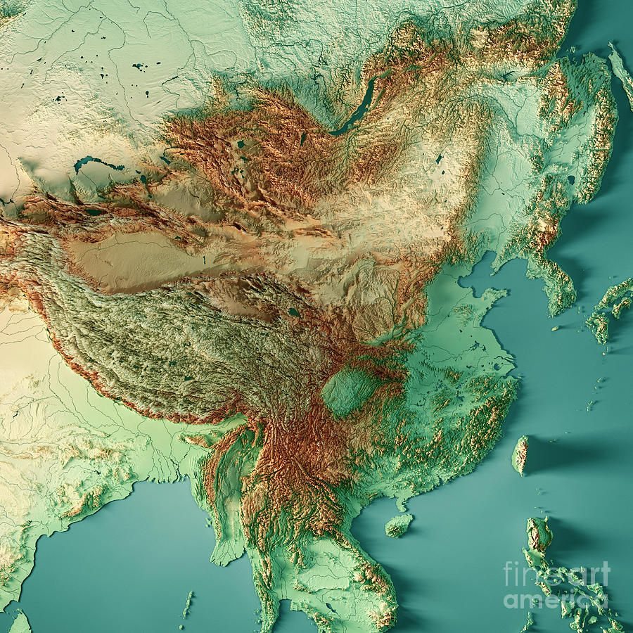
China 3D Render Topographic Map Color is a piece of digital artwork by Frank Ramspott which was uploaded on August 20th, 2018.
China 3D Render Topographic Map Color
3D Render of a Topographic Map of China.... more
Title
China 3D Render Topographic Map Color
Artist
Frank Ramspott
Medium
Digital Art - 3d Map
Description
3D Render of a Topographic Map of China.
All source data is in the public domain.
Color texture and Rivers: Made with Natural Earth.
http://www.naturalearthdata.com/downloads/10m-raster-data/10m-cross-blend-hypso/
http://www.naturalearthdata.com/downloads/10m-physical-vectors/
Relief texture: SRTM data courtesy of USGS. URL of source image:
https://e4ftl01.cr.usgs.gov//MODV6_Dal_D/SRTM/SRTMGL1.003/2000.02.11/
Water texture: HIU World Water Body Limits:
http://geonode.state.gov/layers/?limit=100&offset=0&title__icontains=World%20Water%20Body%20Limits%20Detailed%202017Mar30
Uploaded
August 20th, 2018
More from Frank Ramspott
Comments (15)

Gull G
Art provides an opportunity for kaleidoscopic thinking. Each time we shift the lens of our perceptions, we gain new perspectives — and new opportunities for innovation.💖❣️💖 CONGRATULATIONS ON YOUR RECENT SALE OF A WONDERFUL WORK!

Jacek Dudzinski
Nice job! Keep up the good work! Great talent. I really would apreciate your feedback of my Photography ;-)

SHIDI WANG
Love your maps. How can I get the digital version?
Frank Ramspott replied:
Thank you very much, Shidi! Regarding your request please send me a message here: https://fineartamerica.com/controlpanel/emailsinternal.html?tab=newmessage&action=emailmember&memberidtype=artistid&memberid=208492


