Looking for design inspiration?   Browse our curated collections!

Previous Image

|

Next Image
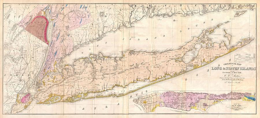
Long Island Drawing - Vintage Map of Long Island New York by CartographyAssociates

Vintage Map of Long Island New York is a drawing by CartographyAssociates which was uploaded on February 23rd, 2016.

More from CartographyAssociates

View Profile

Vintage Road Map of Long Island by CartographyAssociates
Vintage Map of Long Island New York  #1 by CartographyAssociates
Vintage Map of Suffolk New York - 1829 by CartographyAssociates
Vintage Map of Long Island NY by CartographyAssociates
Vintage Map of Long Island  by CartographyAssociates
Vintage Map of Long Island New York - 1857 by CartographyAssociates
Vintage Long Island NY Railroad Map - 1882 by CartographyAssociates
Vintage Coastal Map of Long Island and NJ  by CartographyAssociates
Vintage Brookhaven and Fire Island NY Map - 1873 by CartographyAssociates
Vintage New England and Long Island Map - 1703 by CartographyAssociates
Vintage Map of The Hamptons - 1873 by CartographyAssociates
Vintage Map of South Hempstead Long Island  by CartographyAssociates
Vintage Map of The Hamptons by CartographyAssociates
Vintage Map of New York City Harbor  by CartographyAssociates
A Glass of Iced Tea by PhotographyAssociates
Vintage Map of Oyster Bay New York - 1873 by CartographyAssociates

Comments

There are no comments for Vintage Map of Long Island New York.   Click here to post the first comment.

Recently Viewed

Vintage Map of Long Island New York by CartographyAssociates
Previous Image Next Image