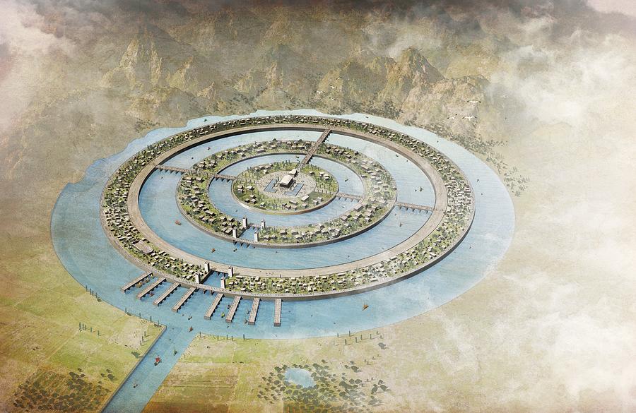
Plato's map of Atlantis, artwork is a photograph by Science Photo Library which was uploaded on March 6th, 2014.
Plato's map of Atlantis, artwork
Plato's map of Atlantis, artwork. Artwork of the mythological city of Atlantis, as described by the Ancient Greek philosopher Plato. Plato made the... more
Title
Plato's map of Atlantis, artwork
Artist
Science Photo Library
Medium
Photograph
Description
Plato's map of Atlantis, artwork. Artwork of the mythological city of Atlantis, as described by the Ancient Greek philosopher Plato. Plato made the first written references to Atlantis in 360 BC. He suggested that Atlantis was located on an island at the mouth of the Pillars of Hercules in what is now called the Strait of Gibraltar. Despite many expeditions, the existence and location of Atlantis has not yet been confirmed. Legend has it that Atlantis was destroyed by a great flood and was submerged beneath the sea around 9600 BC.
Uploaded
March 6th, 2014


